World News
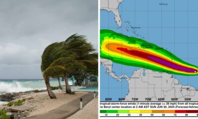
Severe storms bring the threat of golf ball-sized hail, heavy rain and damaging winds
A severe storm hit Colorado on Saturday, bringing heavy rain, hail and damaging winds, according to the National Weather Service.
The most severe weather hit the Colorado Plains east of Greeley, but storms began across the state around noon. That’s what NWS forecasters said.
Throughout the day, large hail and damaging winds posed the biggest threat, forecasters said.
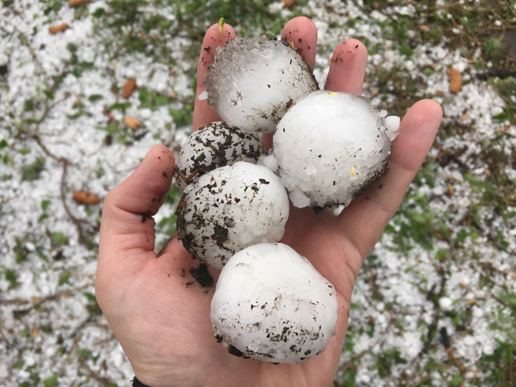
NWS meteorologists recorded hail as small as mothballs – about half an inch in diameter – and as large as baseballs – almost 3 inches wide. according to weather service data.
The largest hail recorded at 2.5 inches in diameter was recorded in Seibert, a town in Kit Carson County.
Although the weather service predicted 75 mph winds would blow through Colorado on Saturday, only one gust came close to that benchmark. recorded by NWS meteorologists.
Deer Trail — a town in eastern Arapahoe County — recorded the state’s strongest recorded wind gust at 75 mph on Saturday, according to NWS data.
Winds reached up to 60 mph in the Denver area, but as of 6:30 p.m. Saturday, no reports of the promised quarter-sized hail were recorded in the metro area.
Despite on-and-off storms moving through the city throughout the afternoon, Denver had a partly sunny day with temperatures reaching 85 degrees. That’s what NWS forecasters said. On Saturday, clouds will increase overnight and temperatures will drop to 58 degrees.
According to NWS meteorologists, the severe weather will largely end around 8 p.m. Saturday before increasing in intensity again around noon on Sunday.
Although severe thunderstorm and tornado warnings were issued for several counties Saturday evening, no excessive damage and only one twister touchdown had been confirmed as of 7 p.m. Saturday.
A tornado of unknown size touched down in Flagler, a city in Kit Carson County in eastern Colorado, around 4:30 PM on Saturday. according to NWS meteorologists.
Several social media users reported seeing supercell storm clouds — rotating thunderstorms that can spawn tornadoes — between the city of Cope in Washington County and Kit Carson County.
A clip from today’s tornado-producing supercell in Colorado, from Cope to Kit Carson!! More to come. June 8, 2024 #koex @VicStormChasers @KLijnders pic.twitter.com/iboOLtziC4
— AustraliaSkynWeather (@AUSSKY) June 9, 2024
Anton/Cope Supercell scenes from an hour ago #koex pic.twitter.com/khoiMKgxx6
— T☈ENT (@my__apocalypse) June 9, 2024
Showers and thunderstorms will continue Sunday across the Front Range and areas just east of the mountains, including Denver, according to a NWS Hazardous Weather Outlook. Scattered thunderstorms are expected elsewhere.
The rainy weather will continue through Monday for most of the state, but a drying and warming trend will begin Tuesday, NWS forecasters said.
On Wednesday, temperatures in the metro area are expected to return to the mid-90s, setting new record highs for the year.
Get more Colorado news by signing up for our daily Your Morning Dozen email newsletter.